
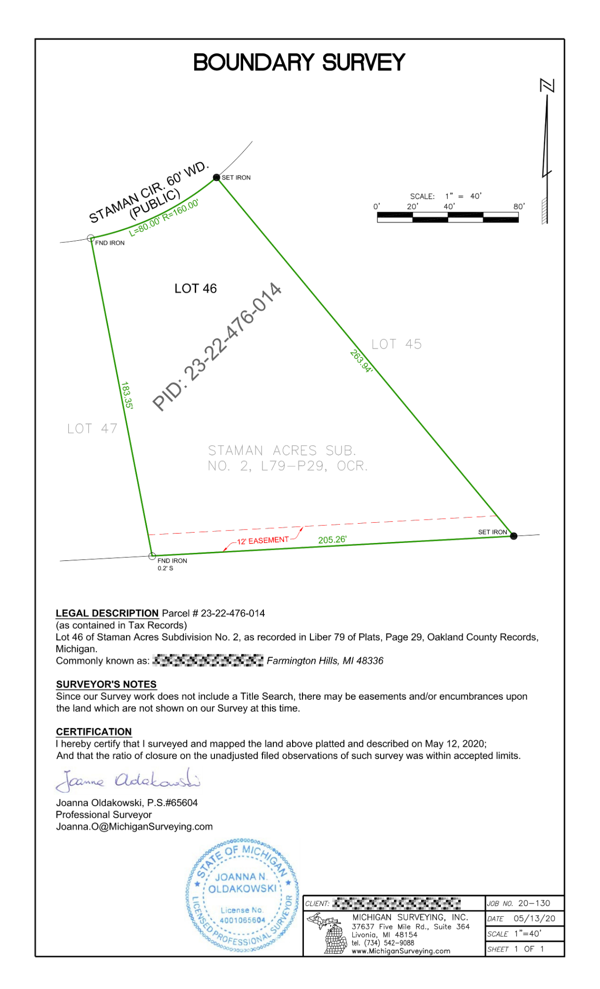
Also called: Stake Survey, Lot Survey, Lot Stake, Property Line Survey, Physical Survey
Uncertainty regarding property lines can lead to costly neighbor disputes, halted construction, and legal liabilities. A professional Boundary Survey establishes the property lines of a parcel using its legal description, making it the only definitive way to establish where your property begins and ends.
Michigan Surveying provides comprehensive boundary determinations for both residential and commercial clients. Our process involves exhaustive deed research, historical public record reviews, and precise field measurements to locate, verify, or re-establish property corners.
What to Expect from Our Survey:
- Physical Markers: We set or restore markers at property corners and, when necessary, along the boundary lines. Property corners are marked with ½″ x 18″ steel bars set flush with the ground, accompanied by above-ground wooden stakes placed as witness points.
- Certificate of Survey (Optional): We can provide a detailed drawing of the surveyed property that clearly illustrates boundaries, any encroachments onto or from adjacent properties, and any recorded easements affecting the property.
Whether you are planning to install a new fence, split a parcel of land, or are facing an encroachment issue, our licensed surveyors provide legally defensible plats that protect your investment and your rights as a property owner.
Important Limitations of a Boundary Survey:
- It does not ensure that the property owner has a clear title to the land.
- It does not establish any unwritten property rights. For example, you may have legal rights to areas not included in your legal description, which can only be determined by a court.